Started in Remote Sensing. Licensed to Deliver It.
I've been working in remote sensing and surveying for over 15 years. What keeps me in it is the technical complexity. The data is deep, the problems are real, and there's always more you can do with it.
LiDAR, photogrammetry, thermal and multispectral data can do a lot more than most workflows allow for. I started Redside to push that further.
The PLS came because I wanted to stand behind the accuracy of the work, not just produce it. That's the difference between data that looks right and data you can actually build on.
UAS is a field I'm heavily invested in. The ability to capture a site repeatedly over time has changed what's possible for projects that couldn't afford traditional survey campaigns. I love applying that to infrastructure and natural resource work alike, especially watershed monitoring.
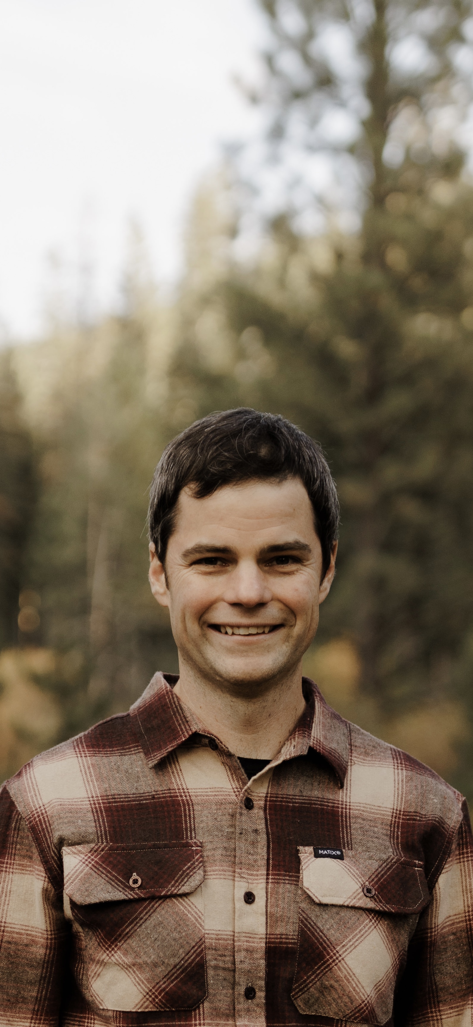
When I'm not working, I'm outside with my family. Rafting, mountain biking, camping, fishing. That's the environment this company is built around.