Modern Geospatial ยท Bend, Oregon

Good terrain data doesn't replace site visits. It makes them more valuable.

I design geospatial workflows that help project teams see clearly, decide confidently, and move faster.

PLS
Licensed Surveyor
3D
Reality Capture
GIS
Terrain Analysis
UAS
Field Collection
What Changes

See it. Understand it. Act on it.

See the Site Clearly

Terrain capture and 3D models that give your team an accurate picture of the site before planning decisions get made on assumptions.

Speak the Same Language

Interactive models anyone can open in a browser. Planners, reviewers, landowners, and contractors all looking at the same site, resolving ambiguity before it becomes a field problem.

Build on It

Workflows designed to improve with each project. The goal is a system that gets more valuable over time, not a deliverable that starts from scratch next time.

Real Work

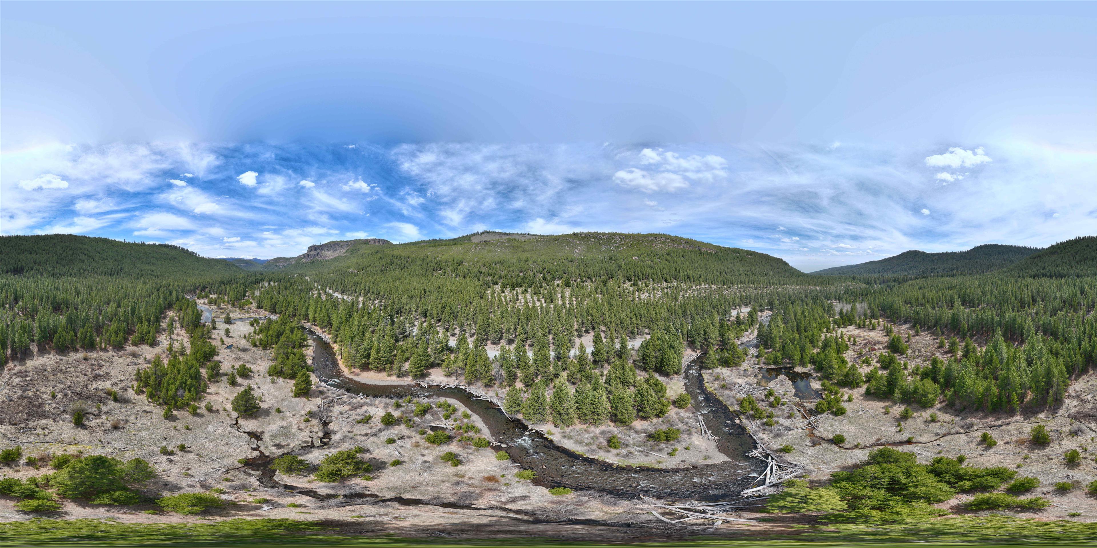
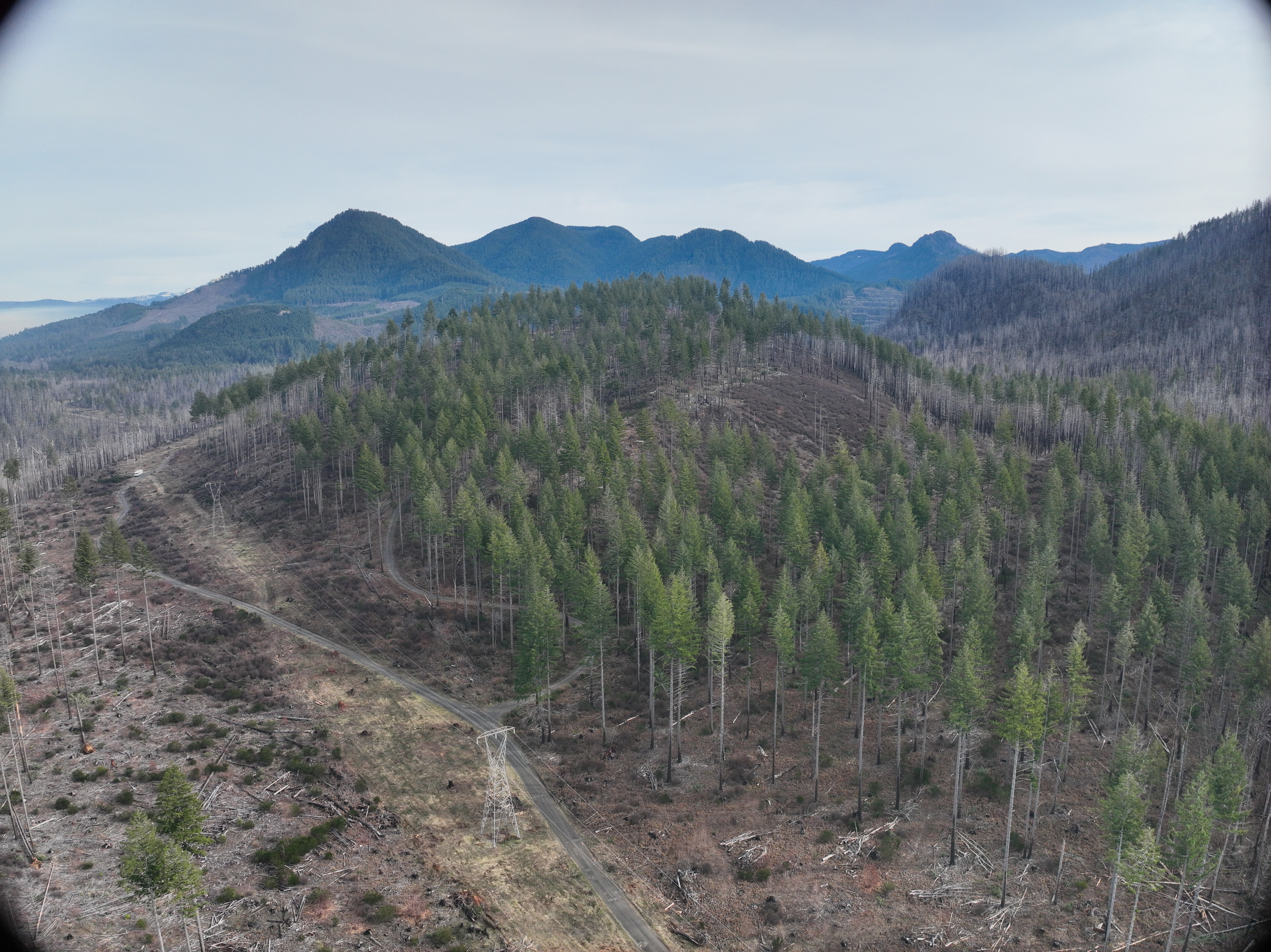
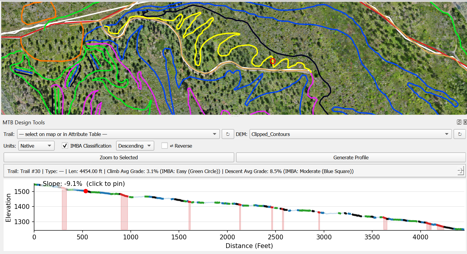
Trail corridors, watershed sites, infrastructure โ€” in 3D, in a browser.

Interactive 3D models from real projects. See what the data actually looks like when it's delivered.

View My Work
"Quote from Dirt Mechanics coming soon โ€” something like: I can't believe I was able to map remotely and verify in the field. This saved weeks of manual labor and made this project possible with the environmental constraints. I use it for every project now."

Dirt Mechanics โ€” Trail Design & Construction

Let's Talk

Not sure if this applies to your work?

That's the most common starting point. Tell me what you're working on and I'll tell you honestly whether I can help.

Let's Talk